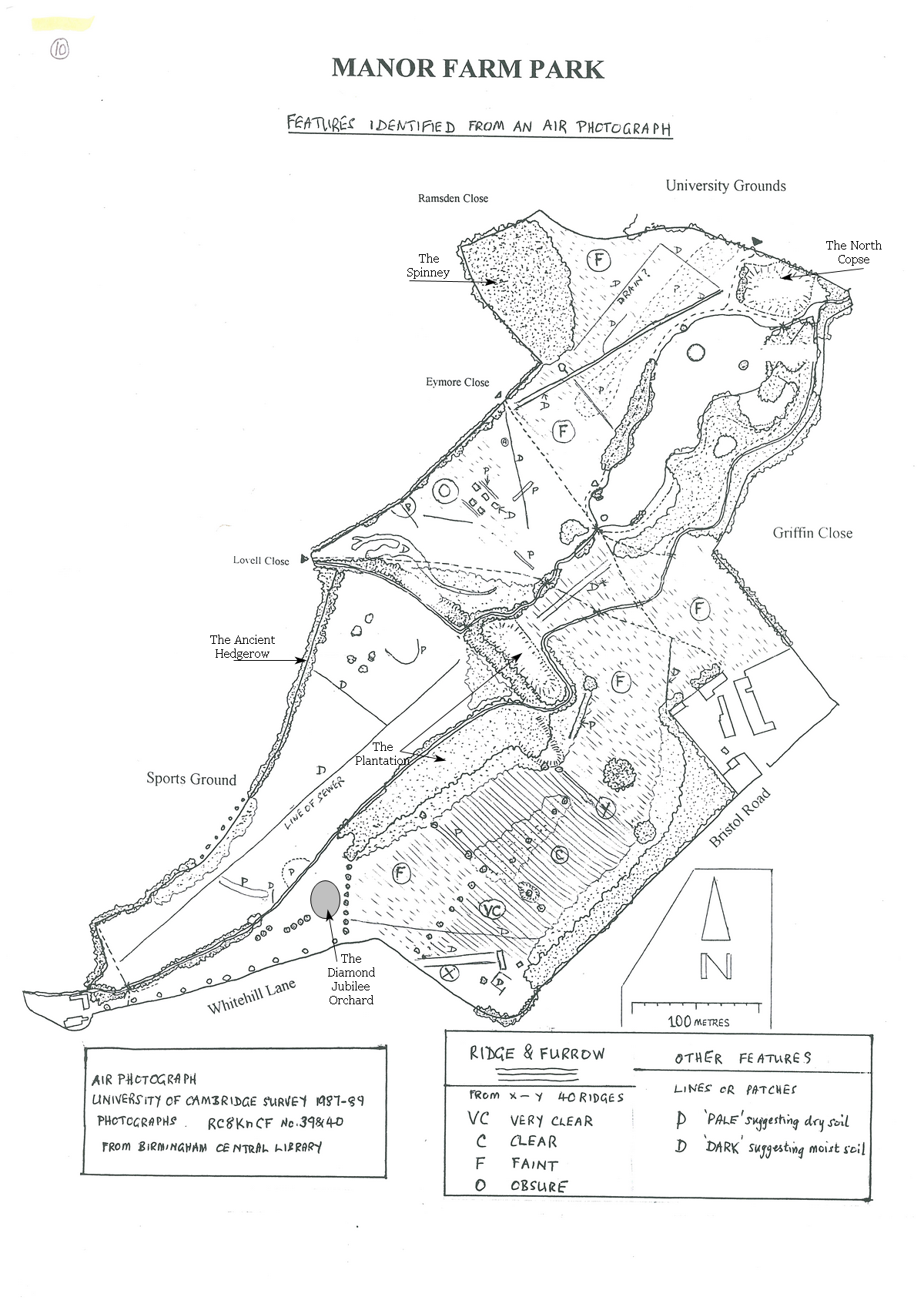
This plan shows extensive areas in the park where you can see evidence of ridges and furrows caused by plowing over a long period. The best time to see these examples is in the early morning or late evening on sunny days when the shadows highlight the ridges and furrows. 
 

Tony-Sames-Plan-Ridge-and-Furrow-copy.jpeg

Return to Heritage Trail,

Return to Maps and Plans Menu

The 1968 OS Map

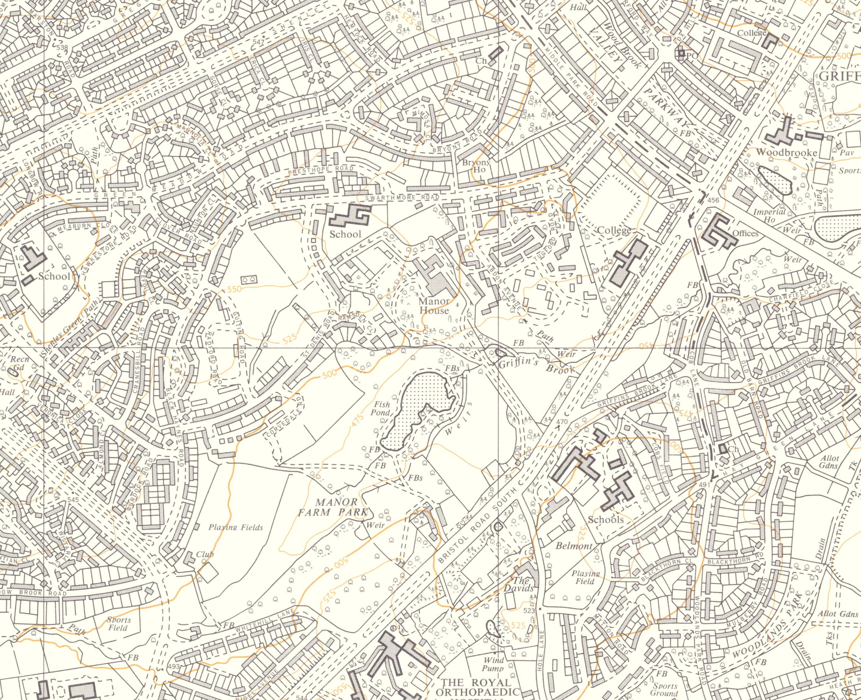
This is the first OS Map that shows the Park, which was opened in 1958. The University Of Birmingham Halls of residence at Griffins Close (now New House Drive) have yet to be built. Many of the present paths in the park are shown but those from Eymore and Lovell Closes are not as those roads have not been built. 

1968 reduced

'Reproduced with the permission of the National Library of Scotland'

Return to Maps and Plans

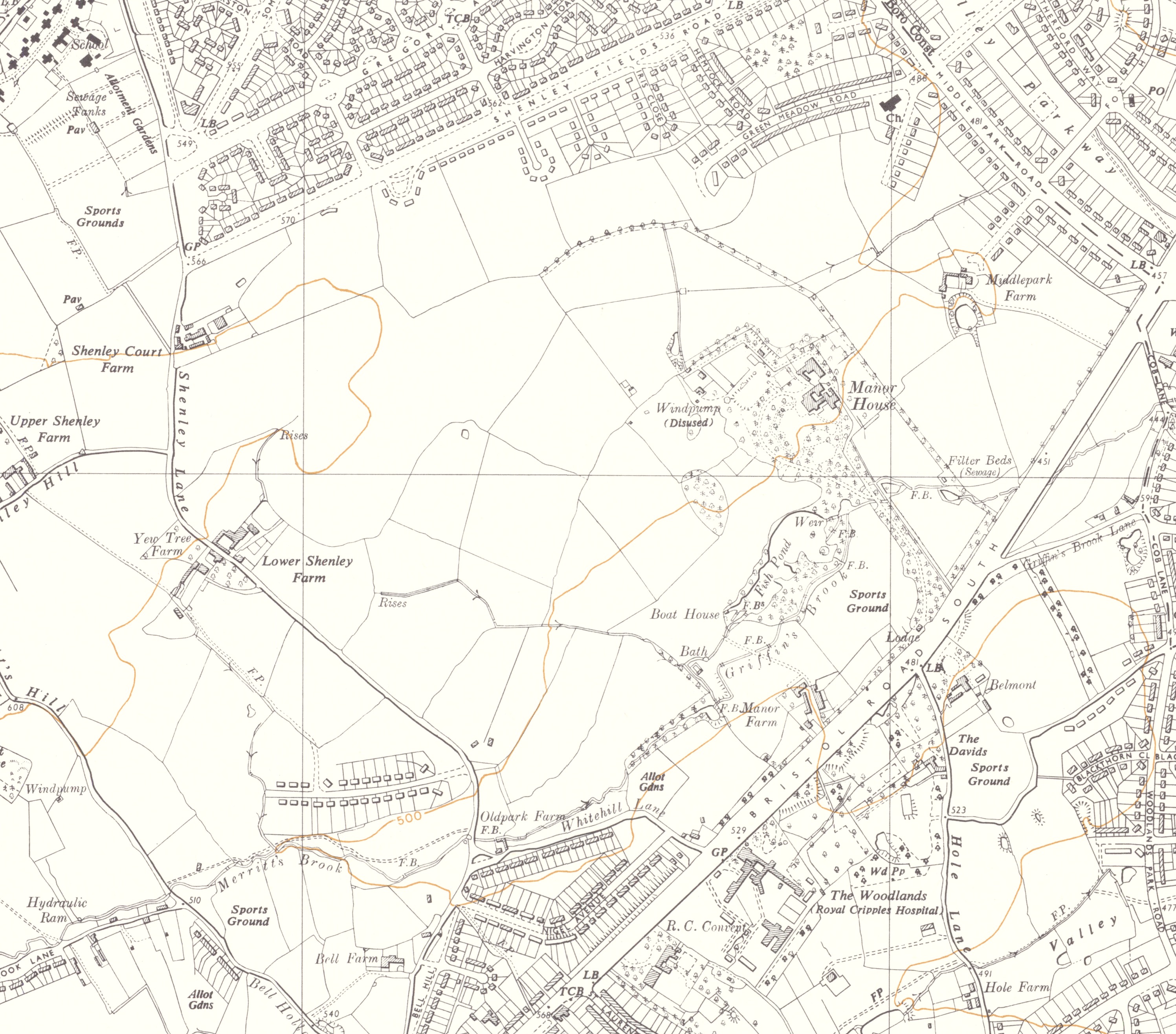
The Ordnance Survey Map 1955

1955 reduced

'Reproduced with the permission of the National Library of Scotland'

Return to Maps and Plans