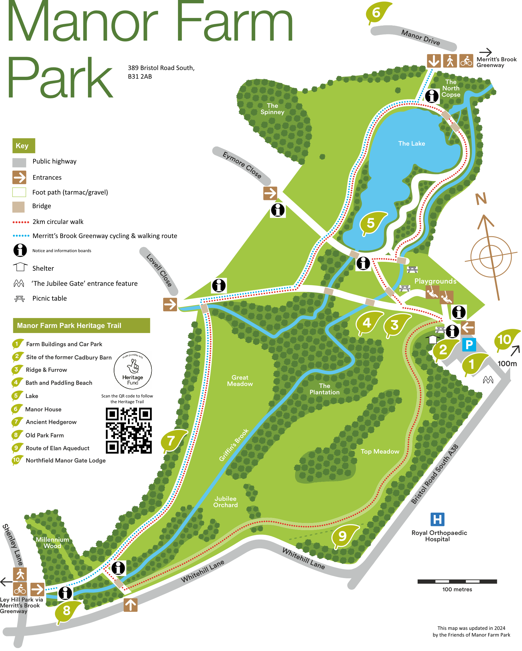
MANOR FARM PARK
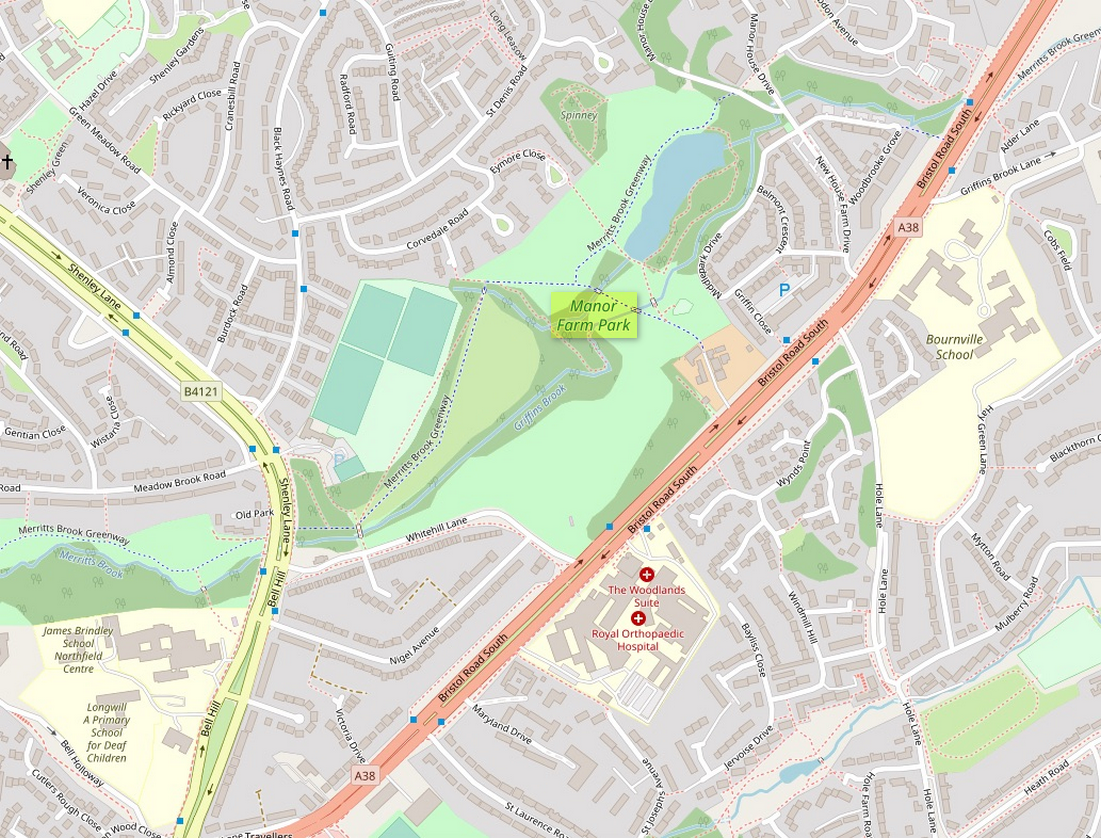
389, Bristol Road South [A38], Weoley & Northfield Ward. B31 2AB
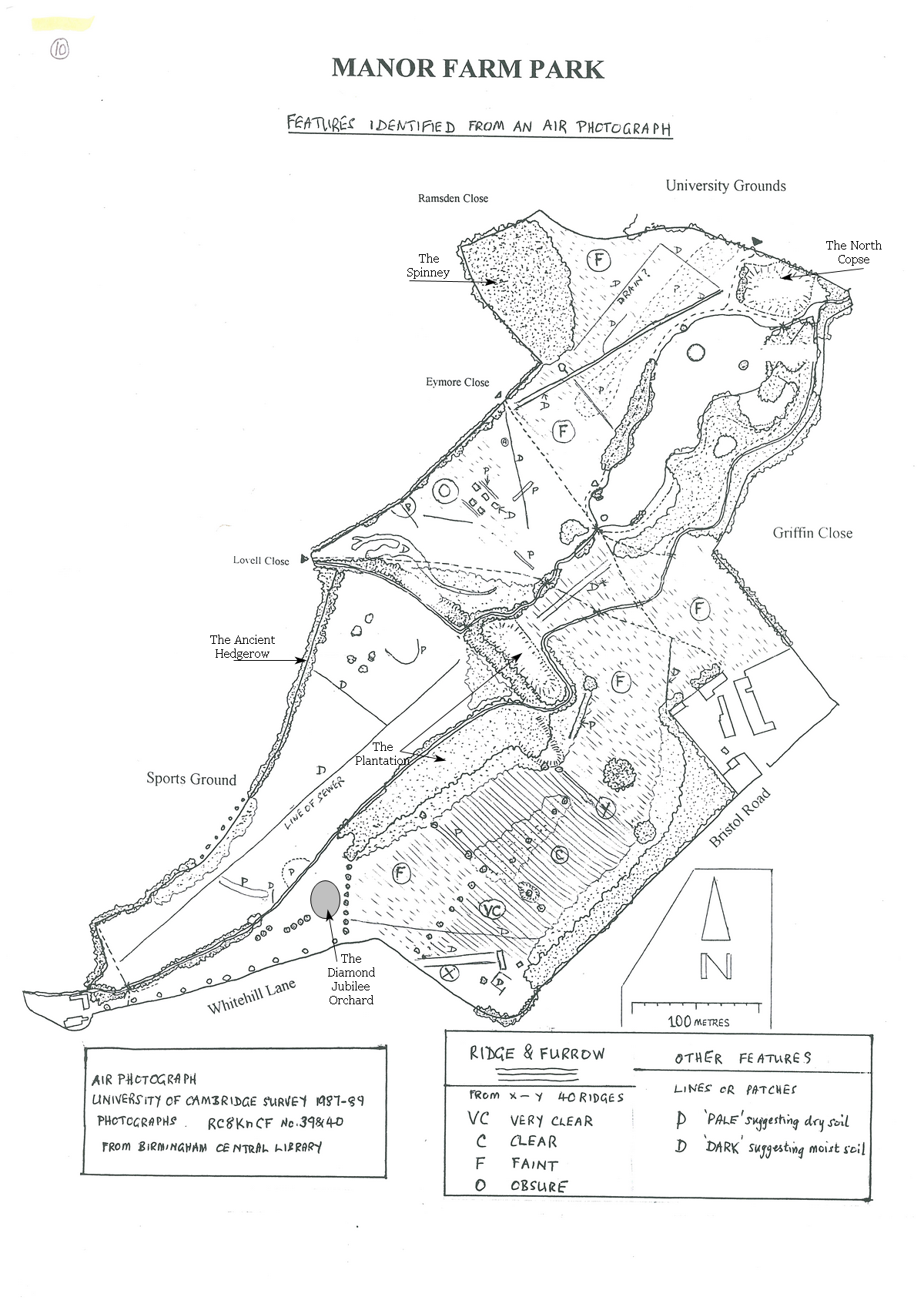
This plan shows extensive areas in the park where you can see evidence of ridges and furrows caused by plowing over a long period. The best time to see these examples is in the early morning or late evening on sunny days when the shadows highlight the ridges and furrows.