Ridges and Furrows
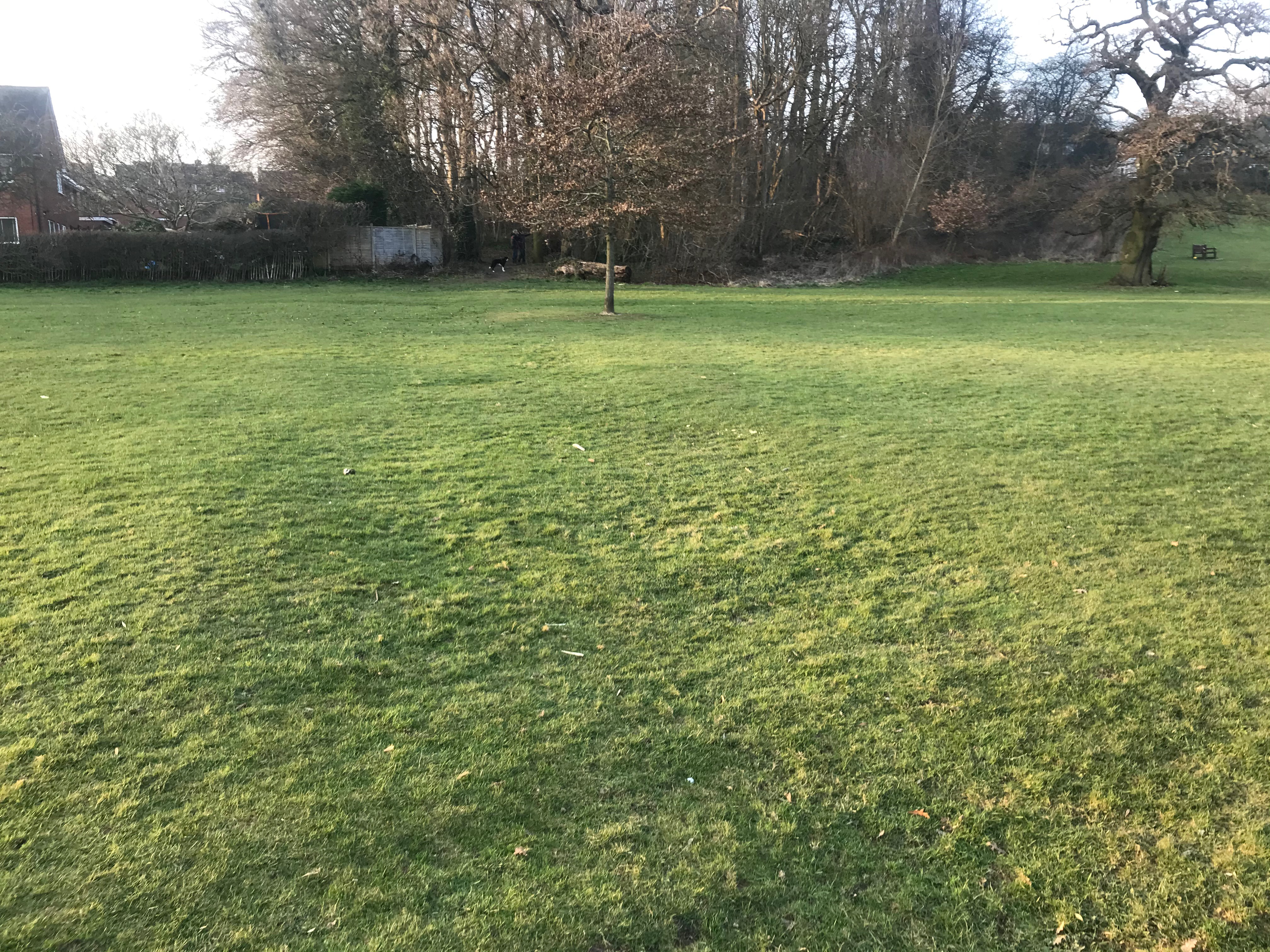 Faint traces of medieval and post-medieval ridge and furrow ploughing can be seen in parts of the park, a reminder of the landscape’s distant agricultural history. The ridges and furrows are formed over time as regular plowing patterns gradually moved the soil to form, what looks like waves across the land. From the 16th to the mid-19th Century the land was farmland, and there is evidence of plowing in several areas.
The slope alongside Whitehill Lane has clear signs of these patterns and there is also evidence all along the sloping land back to the edge of the park by Manor Drive.
The photograph [left], was taken shortly before sunset; it shows the area of parkland between the Spinney and the large swale alongside the lake footpath. A very faint trace of ridge and furrow is clearly visible, enhanced by the shadow cast from the angle of the sun as it lowers in the evening sky.
Click here to see a map of other areas within the park where examples of ridges and furrows can be found.