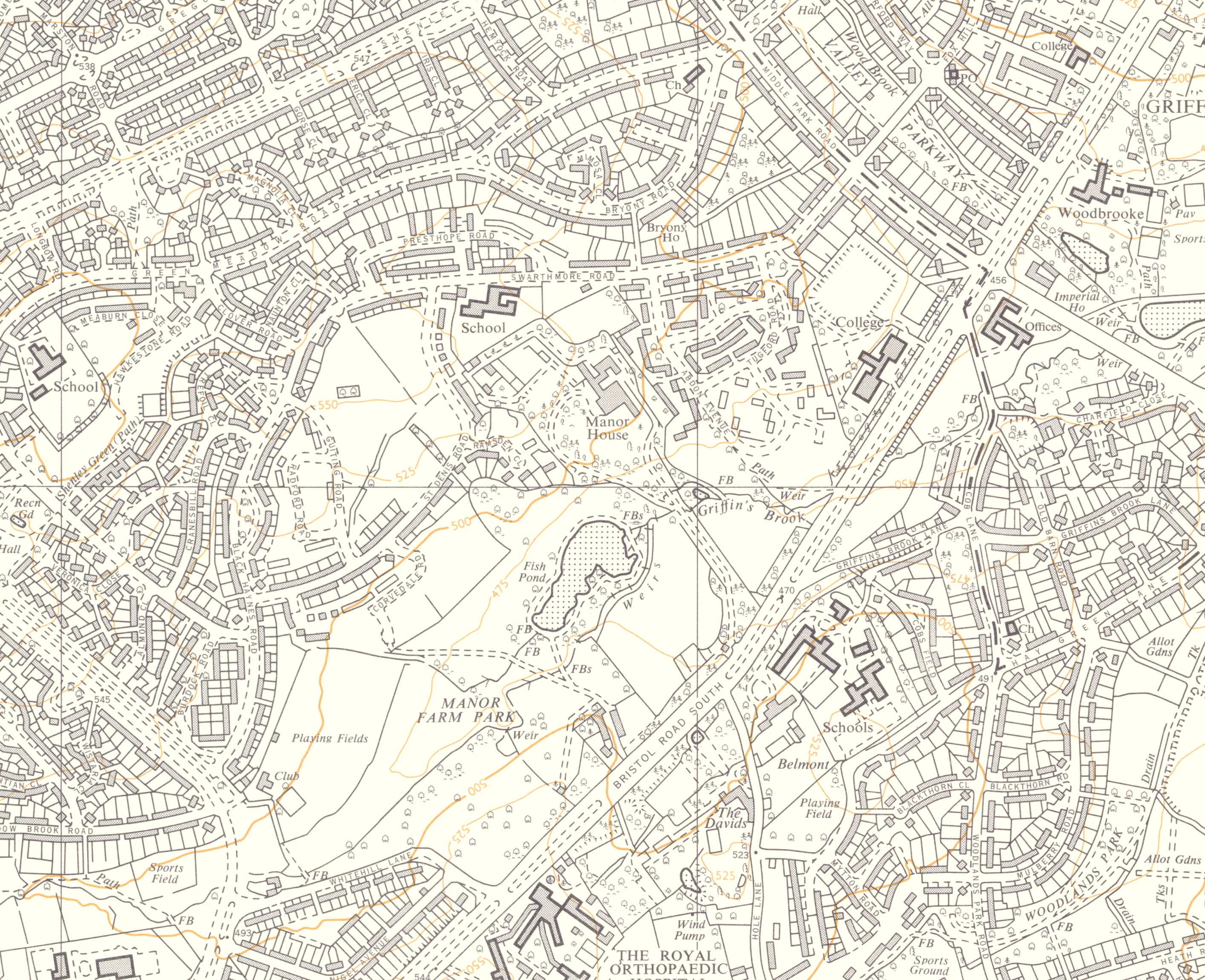
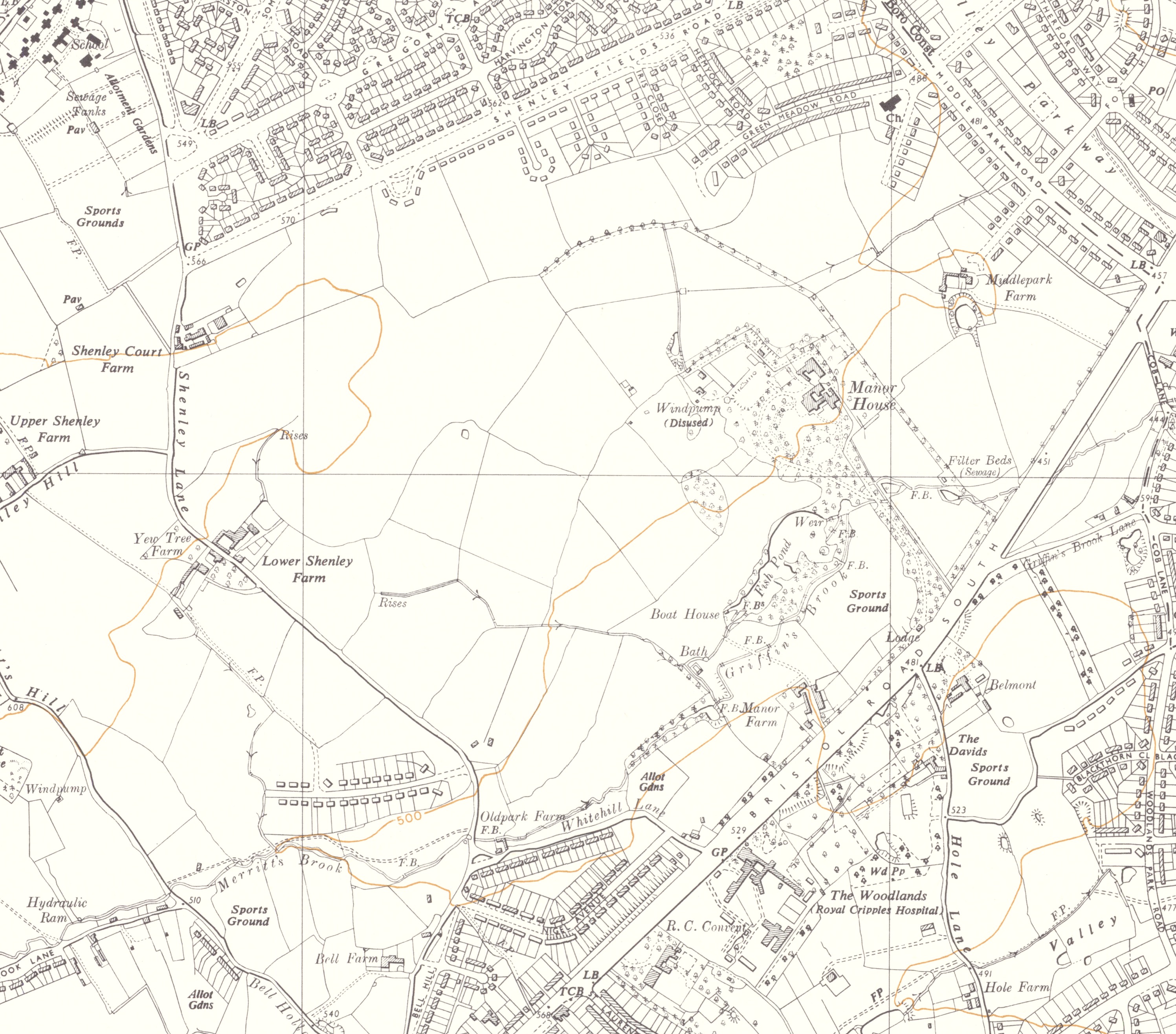
The Ordnance Survey (Third Edition) Map 1916
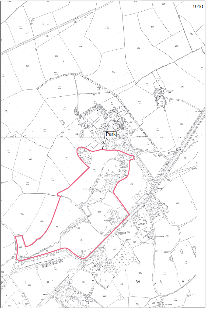 Although the map was surveyed in 1913 - 1914. The map’s publication was delayed until 1921, probably due to the need to prioritise mapping for the War Department during the Great War. It is referred to as the 1916 or 1921 map.
Little change is mapped since 1904, with the exception of the Elan Aqueduct, which crosses the extreme south-eastern corner of the park. The adjoining L-shaped building (White Hill Farm) continues to be mapped. The new canalised route of the Griffin’s Brook has now been joined-up to the historic route of the brook, which also continues to be mapped. A rectangular Bath, with walls on three sides forming a U-shape in the plan is mapped adjoining the historic stream course. The pattern of field boundaries surrounding the park is very similar to that mapped over 80 years earlier (1840 Tithe Map).
By 1916 the north-eastern group of farm outbuildings had been considerably enlarged to the rear. The other buildings within this complex were probably unchanged. To the north of the Manor House, a narrow belt of trees has been laid out to provide a visual screen to the north of the Manor House and to the south of Middle Park Farm, possibly in anticipation of the development of the farmland to the north, which was to begin in the 1920s. There has been little if any development in the vicinity of the park since 1904.
Return to Maps and Plans
'Reproduced with the permission of the National Library of Scotland'