Home
FoMFP
Events
Volunteering
Fauna & Flora
Heritage
History
The History of the Park
Maps and Plans
Maps and Plans of the Park
The Plan of the Park
Tony Sames' Plan
The 1840 Northfield Tithe Map
The OS Map 1884
The 1905 Map
The 1916 Map
The 1938 OS Map
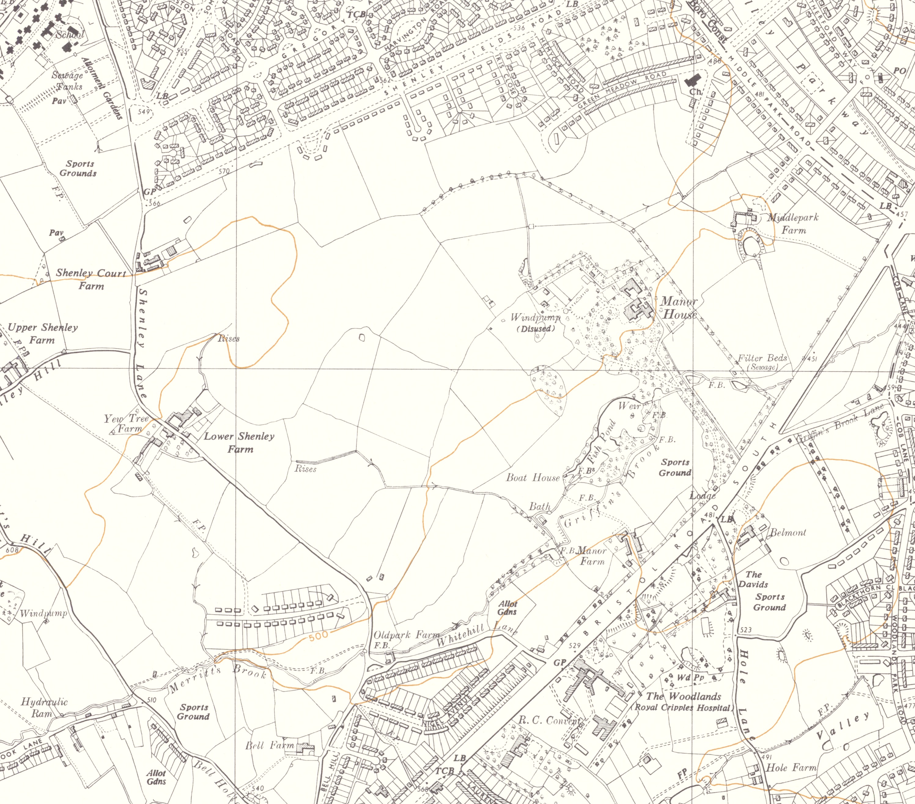
The 1955 OS Map
The 1968 OS Map
Ridge and Furrow Plan
Manor House Drive Estate
2024 Map of Park
Further reading and acknowledgements
Contact Us
The Ordnance Survey Map 1955
'Reproduced with the permission of the National Library of Scotland'
Return to Maps and Plans